GNSS Monitor

GNSS Monitor was created to display your location and important GNSS information even without an internet connection – for example, on a plane, train, or boat, or when you are outside mobile network coverage.


01

GNSS Monitor


was created to display your location and important GNSS information even without an internet connection – for example, on a plane, train, or boat, or when you are outside mobile network coverage.

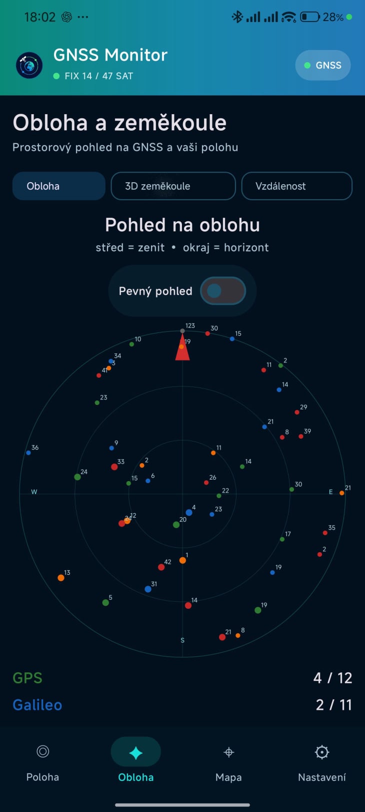
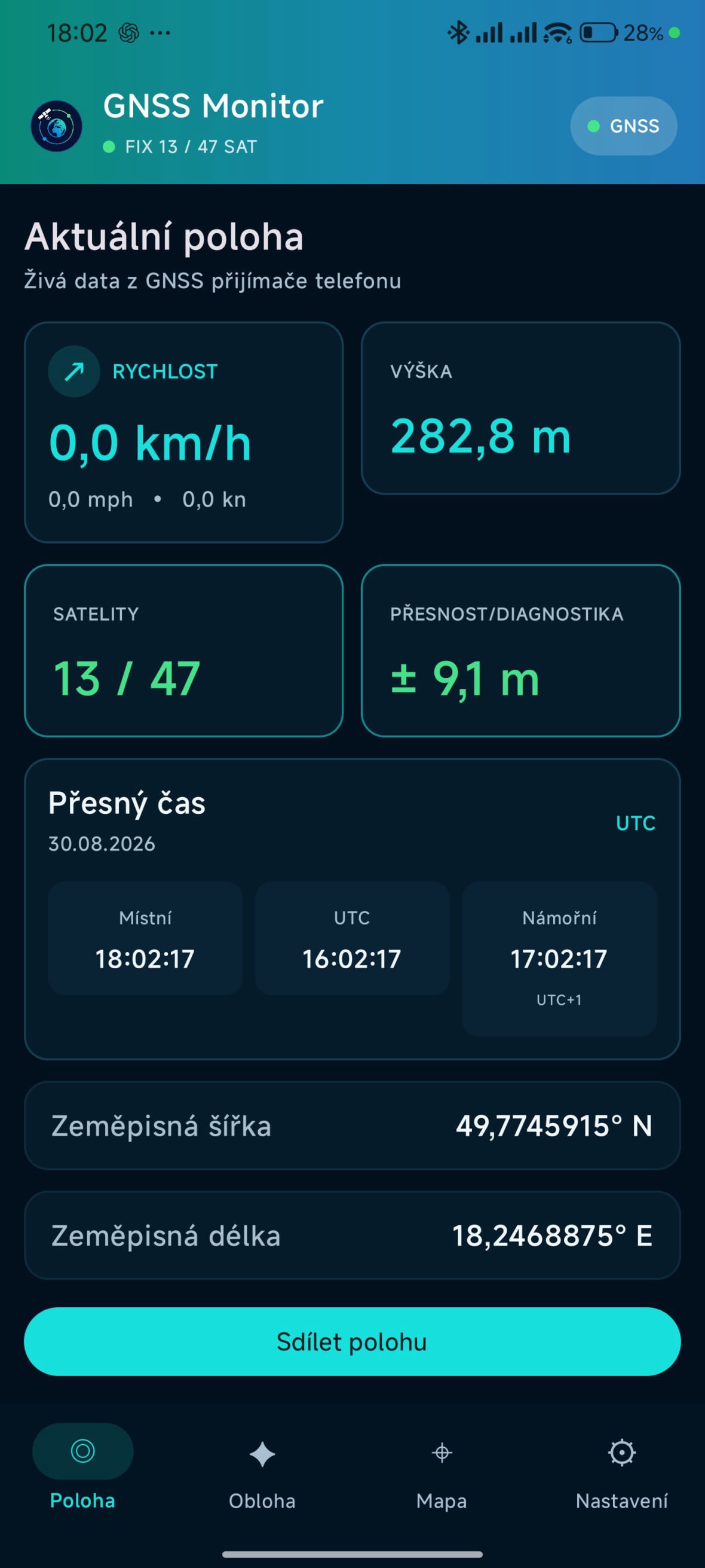
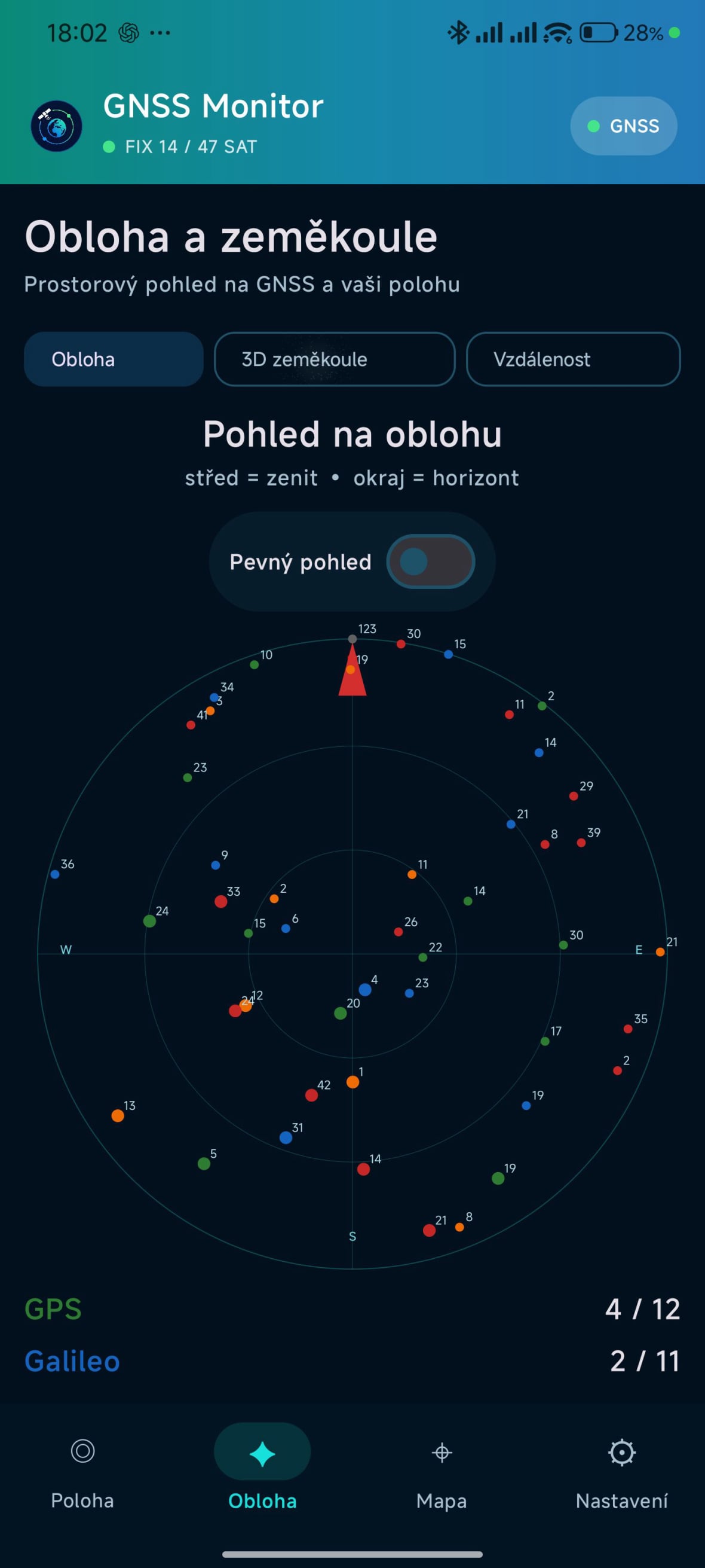
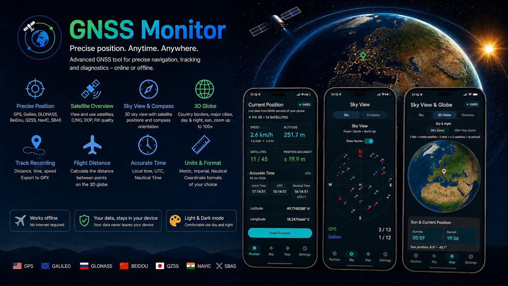
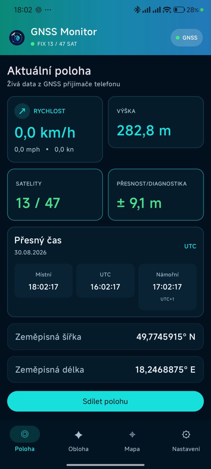
The app displays your current location, speed, altitude, visible and used satellites, GNSS accuracy, a spatial view of satellites, a 3D globe, a map, and other diagnostic information.
GNSS Monitor

02

About

Concept author: Jan Carbol
Technical development: Created in collaboration with OpenAI artificial intelligence
FEATURES

1

Precise Current Location Using GNSS

- Support for multiple satellite systems:
  - GPS
  - Galileo
  - GLONASS
  - BeiDou
  - QZSS
  - NavIC
  - SBAS
- Current speed and altitude
- Overview of visible and used satellites
- Graphical indication of FIX quality – green / yellow / red
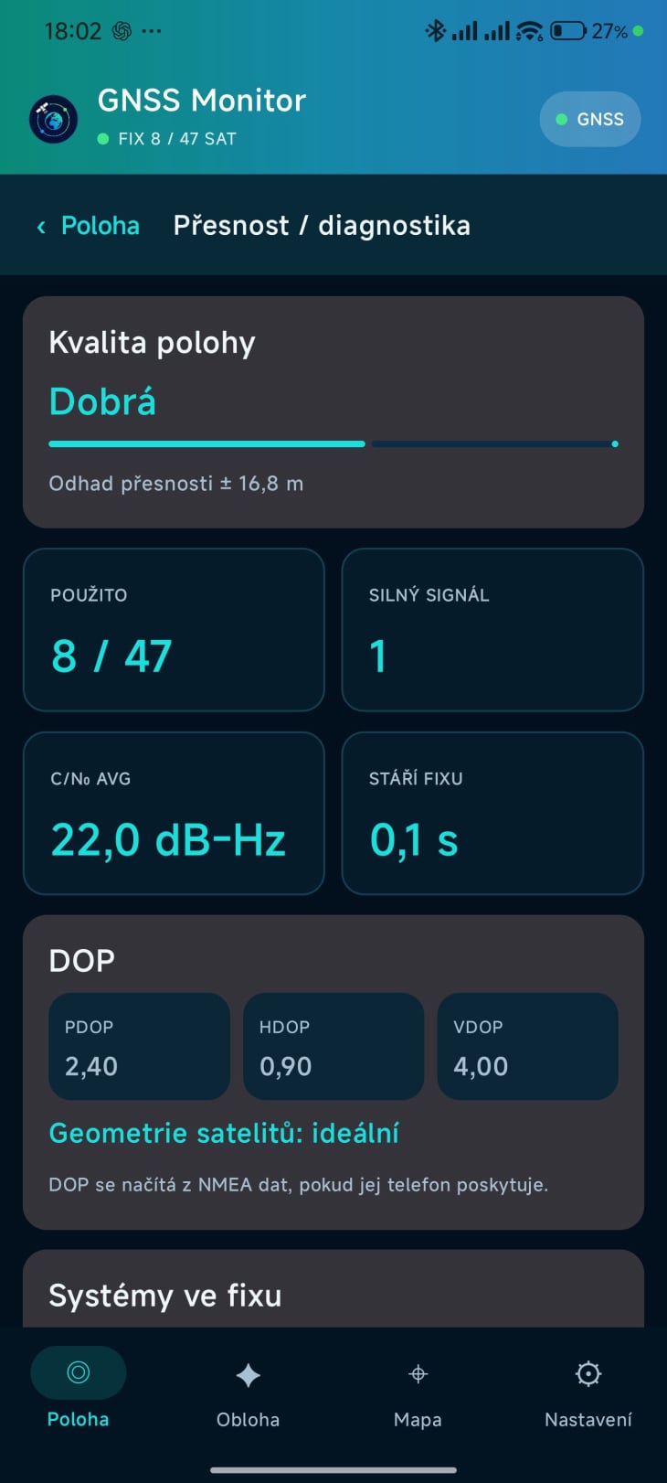
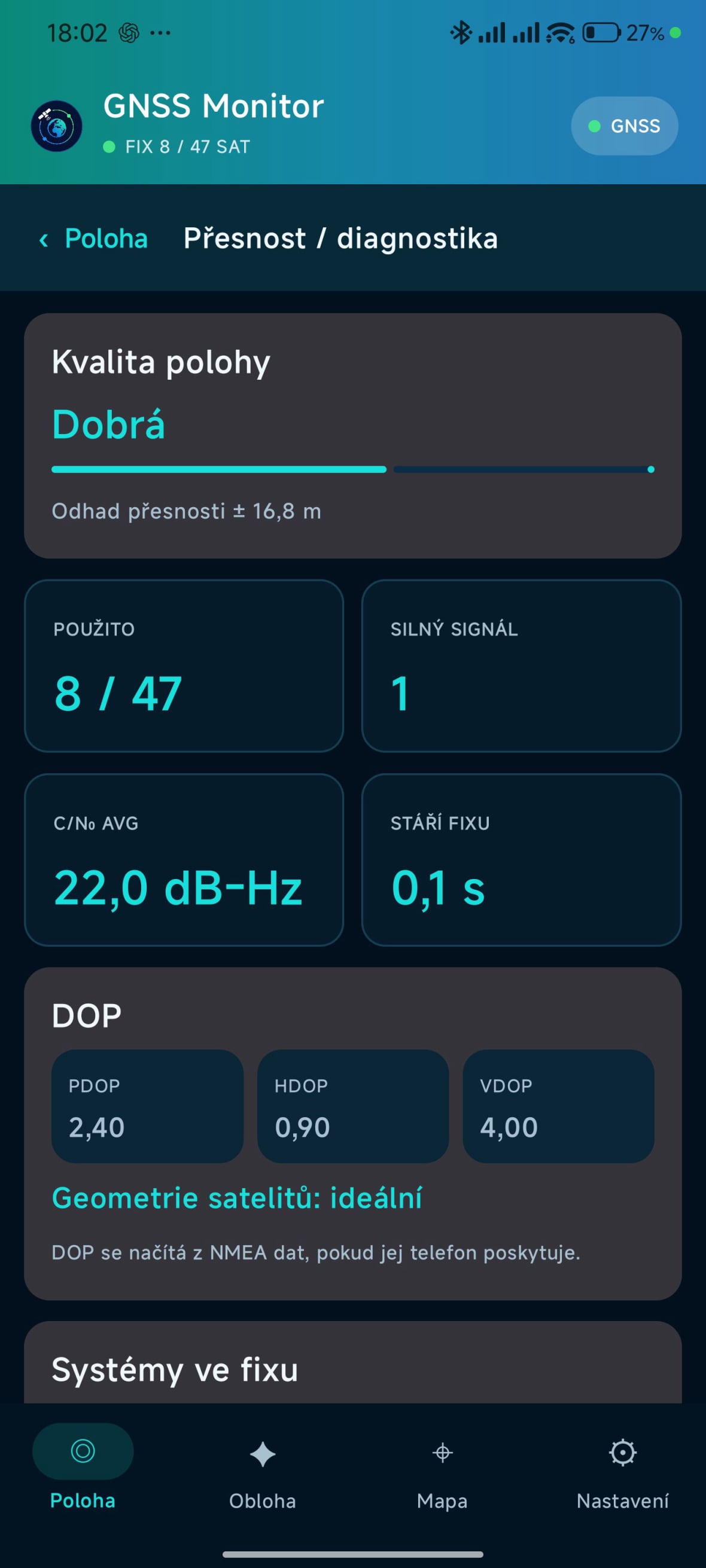
- Position accuracy information
- Detailed GNSS diagnostics including C/N0, PDOP, HDOP, and VDOP

2

Satellite Sky View

- Graphical display of satellites above the user
- Compass mode, where the view is oriented according to the phone's direction
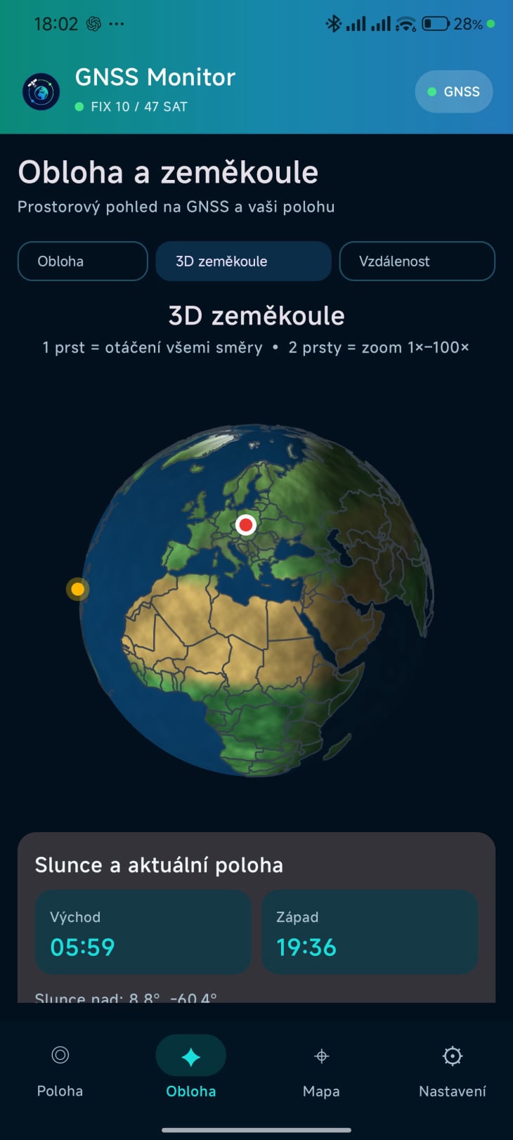
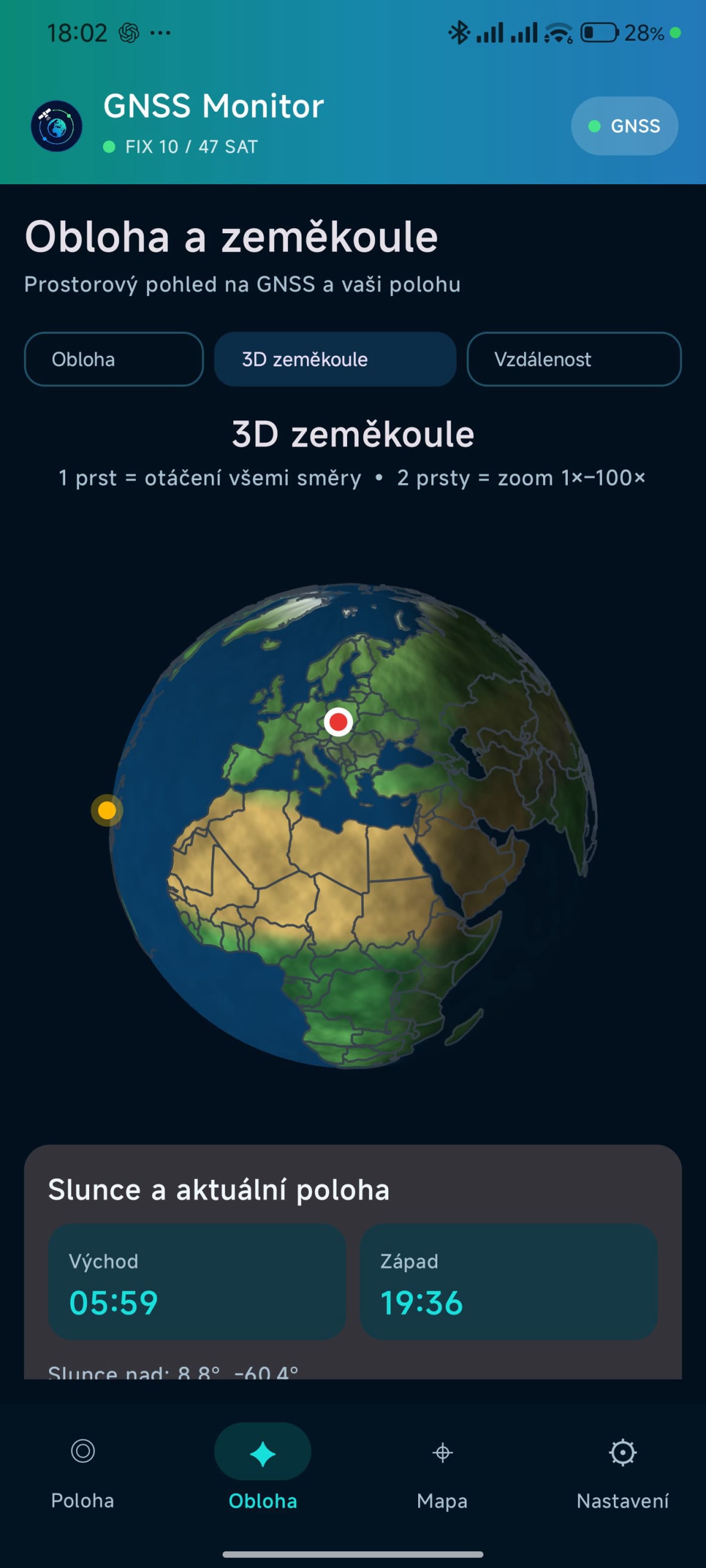
- 3D globe with smooth rotation and zoom
- Display of country borders and capital cities
- Display of the user's current position on the 3D globe
- Current position of the Sun
- Graphical display of the day and night sides of the Earth

GNSS Monitor

3

Online Map

- Current location
- Route tracking including distance, time, and speed
- Export recorded routes to GPX
- Calculation of the great-circle distance between airports
- Offline airport database with country → airport selection
- European airports + major airports in Asia and Africa
- Display of the calculated flight route on a 3D globe
- Precise time – local time, UTC, and Nautical Time

4

Settings

- Selectable units:
  - Metric – km/h, km, m
  - Imperial – mph, mi, ft
  - Nautical – kn, NM, ft
- Selectable coordinate format:
  - Decimal degrees
  - Degrees/minutes/seconds (DMS)
  - Degrees + decimal minutes
- Light and dark themes
- Multilingual interface: CZ, SK, EN, PL, DE, FR, ES, IT
- The app is designed so that its core GNSS features work even without an internet connection

INSTALLATION

1. Install GNSS Monitor on your Android phone – that's all.

GNSS Monitor
GNSS Monitor
GNSS Monitor
GNSS Monitor

TRY IT

Loading...


The app is free and provided without warranty.

If you have any suggestions for improvements or feedback, please use the form below.

If you find the app useful, I would appreciate your contribution.

WOULD YOU LIKE TO LEAVE A MESSAGE?